Did You Know?
Spitfire includes a Projects Nearby report that lists project sites that are near each other, or near a particular address. The way to generate this report is to first use the Latitude and Longitude fields that are available for the Project Setup document.
Prerequisites
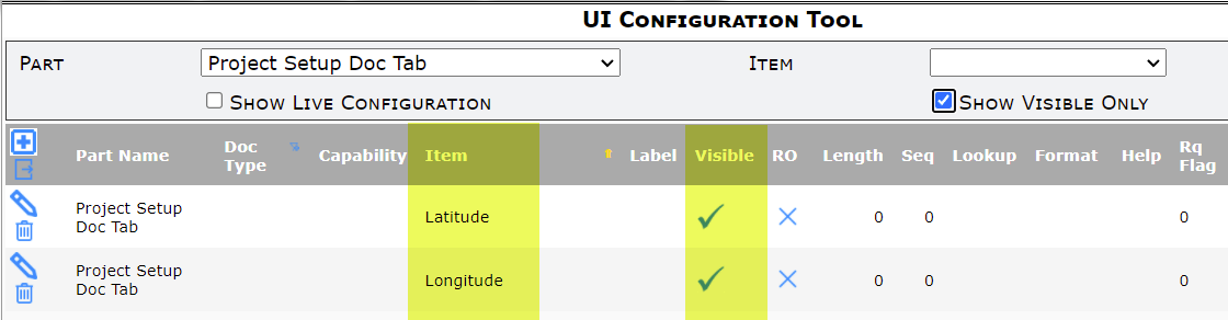
- The Latitude and Longitude fields must be visible on the Project Setup’s Project tab. Those fields can be made visible through the UI Configuration tool:
- The Project Setup document of each project must have a Site address, for example:
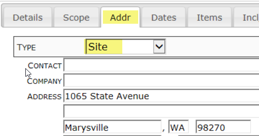
- Save the address before moving on to the Project tab.
To get the Latitude and Longitute:
- On the Project tab of each Project Setup document, click the icon next to Longitude. This will populate both the Latitude and Longitude fields, based on the Site address for the project.
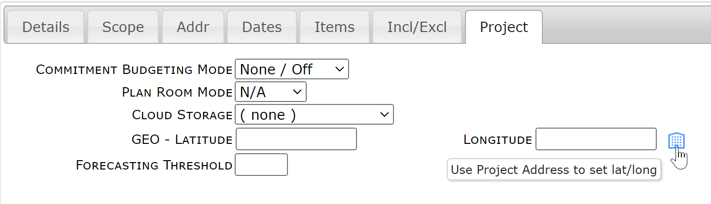
- Click OK if a confirmation window appears. The fields will be populated with the correct latitude and longitude.
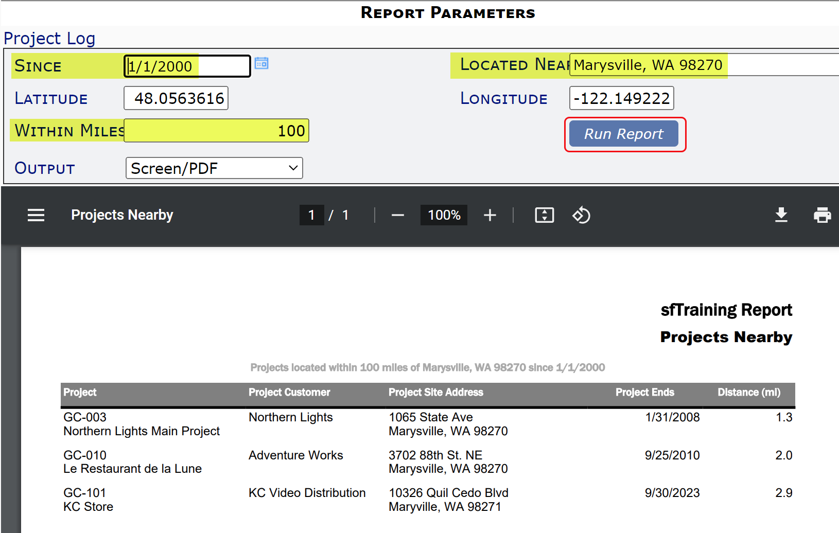
To find projects that are near each other:
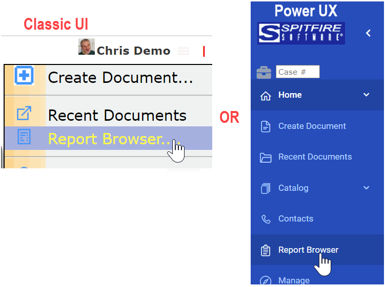
- When you are ready to generate the report, select the General | Projects Nearby report from the Report Browser:
- Use the filters on the report. The Located Near filter accepts a Project ID or anything that Google Maps will recognize as an address. When you tab out, the Latitude and Longitude filters will be filled in.
- You can also change the default Within Miles of 30 to something else, including decimals (e.g., 5.5 for 5 and a half a miles). Be mindful of the Since filter also.
- Click the Run Report button to see all project sites that are near the project or location you indicated.